How Does Public Hunting Land Work? A Whitetail Hunter’s Real Guide
Every year I talk to guys who assume public land is some kind of free-for-all — show up, walk in, shoot a deer. It doesn’t work that way, and if you go in with that mindset you’ll either get skunked or get a ticket. Public hunting land works on a patchwork of federal, state, and sometimes county rules, and every parcel type has its own quirks. If you’re serious about hunting whitetails without owning ground or leasing a farm, understanding that patchwork isn’t optional. It’s the whole game.
What “Public Land” Actually Means
Public land isn’t one category. It’s a mashup of federal forests, state wildlife management areas, Bureau of Land Management tracts, and walk-in access programs that private landowners enroll in for a small fee from the state. Each one has a different governing agency, different season structures, and sometimes different weapon restrictions than the rest of the state.
National forests, managed by the U.S. Forest Service, generally follow state hunting regulations for season dates and bag limits, but they layer on their own rules about vehicle access, camping, and road closures. You can be perfectly legal on your tag and still get cited for driving down a gated forest service road that’s closed seasonally for elk or deer security. I learned that one the hard way in Colorado — not with whitetails, but the lesson translated. Read the forest-specific travel management plan before you plan a hunt around a road you saw on a map from three years ago.
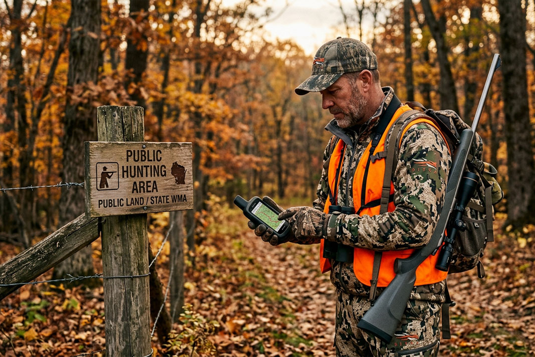
State wildlife management areas (WMAs) are different animals entirely. These are purchased or leased specifically for wildlife habitat and public hunting access, funded largely through hunting license dollars and excise taxes on gear through the Pittman-Robertson Act. Because they’re state-run, the rules are usually tighter and more detailed — check-in stations, quota hunts, specific weapon zones within the same property. Your state’s Department of Natural Resources or Game Commission website is the only source that matters here. Regulations change year to year, and a printed map from last season can get you a citation this season.
Tags, Permits, and Draw Systems
This is where most new public land hunters trip up. In a lot of states, over-the-counter tags cover general season deer hunting on public ground, but plenty of the better WMAs run limited-entry draws for specific hunts — antlerless-only weekends, youth seasons, muzzleloader-only stretches. Miss the application window and you’re locked out for the year, no exceptions.
Some states also require a separate WMA permit or daily check-in beyond your standard hunting license. Pennsylvania, for example, runs certain state game lands with additional access rules layered on top of general license requirements. Bottom line: your license alone rarely tells the whole story. Cross-reference the specific property’s regulations before you ever load the truck.
I’ve made this mistake myself. Years back I drove four hours to a WMA I’d scouted on satellite imagery, only to find out it required a separate quota permit for firearm season that I hadn’t applied for back in the spring. Bow season was open, technically, but I hadn’t brought a bow — I’d built the whole trip around the gun hunt. That trip taught me to build a spreadsheet every August: property name, season type, permit deadline, weapon restriction. Boring work. Saves you from wasted gas and a very quiet drive home.
BLM Land and the Western Overlap
If you hunt whitetails in states where Bureau of Land Management ground exists — parts of the Midwest, portions of Montana and the Dakotas — you’re dealing with yet another layer. BLM parcels are often checkerboarded with private ground, meaning a single square mile might flip between public and private four times. Corner-crossing laws vary by state and have been the subject of real legal fights recently, so don’t assume you can step corner-to-corner between public parcels just because a GPS app shows green on both sides. Know your state’s specific corner-crossing legality before you try it.
Walk-In and Lease Access Programs
A lot of states run walk-in access programs where private landowners get paid to open their ground to public hunters during specific windows. Kansas, Nebraska, and Missouri all run strong versions of this. These properties usually require you to carry a printed permission slip or sign in physically at a kiosk, and the landowner retains rights the state doesn’t have on true public ground — meaning if a farmer decides to pull out of the program mid-season, that access can disappear without much notice. These parcels tend to hold less pressure than classic WMAs simply because fewer hunters know they exist. That’s the upside. Find them through your state wildlife agency’s atlas tool, not a general hunting app, because those programs update constantly and third-party apps lag behind.
Reading the Regulations Booklet Like It’s Gospel
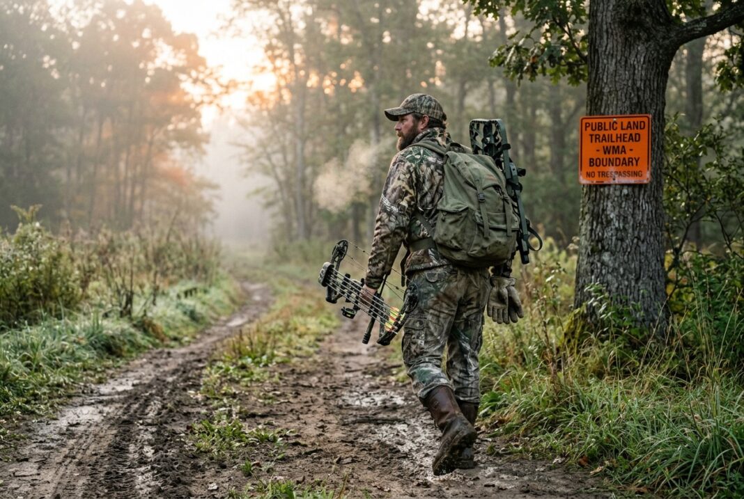
I’ll say this bluntly: the regulations booklet is not optional reading. It’s the rulebook, and ignorance of it doesn’t hold up with a game warden. Weapon restrictions differ by zone even within the same WMA in some states — shotgun-slug only in one section, rifle allowed in another, archery-only near a trailhead for safety reasons. Antler point restrictions, antlerless tag allocations, Sunday hunting bans in certain counties — all of it lives in that booklet, and none of it is guesswork.
The National Deer Association puts out solid state-by-state breakdowns of deer management approaches that help you understand why certain public tracts run heavier antler restrictions or extended antlerless seasons. Understanding the “why” behind a regulation makes you a smarter hunter on that ground, not just a compliant one. Managers aren’t picking numbers out of a hat. They’re responding to herd health data, harvest reports, and habitat carrying capacity.
Pressure Is the Real Currency
Here’s the part nobody wants to hear: on public land, the biggest variable isn’t the deer herd. It’s other hunters. A WMA can carry a fantastic deer population and still hunt like a ghost town because every access point gets pounded opening weekend and the deer shift into nocturnal mode by day three. Understanding public land means understanding pressure patterns as much as it means understanding regulations.
The properties that produce mature bucks year after year are almost never the ones with the biggest parking lots. They’re the ones with a half-mile minimum walk, a creek crossing that discourages the lazy, or a boundary that doesn’t show up clean on the free version of a mapping app. I’ve walked past trucks parked at a trailhead, hiked another mile past where the trail forked, and found sign that hadn’t been touched in weeks. That extra mile is the whole strategy on most public ground. It’s not complicated, but it’s uncomfortable, and most guys won’t do it.
Season Structure and Multi-Weapon Overlap
Public land also forces you to think in terms of overlapping seasons rather than one clean deer season. Archery might open a month before rifle, muzzleloader might run a separate window entirely, and youth or mentor seasons sometimes carve out days where only specific hunters can be in the woods. That means your scouting window and your hunting window aren’t the same thing — pressure builds in stages, and the deer respond in stages too. A property that’s quiet in early October can turn into a circus the first weekend of firearm season and go dead quiet again two weeks later once the casual crowd goes home. Learning that rhythm on your specific piece of ground takes a season or two of paying attention, and it’s worth every minute.
Camping, Access, and the Small Print That Trips People Up
Dispersed camping rules differ wildly between national forest ground and state WMAs. National forest land generally allows dispersed camping outside developed campgrounds unless posted otherwise, which is a real advantage if you’re running a multi-day hunt far from town. Most state WMAs prohibit overnight camping entirely unless a specific area is designated for it. Vehicle access is another sneaky detail — some WMAs close interior roads to vehicle traffic during hunting season specifically to reduce pressure and force hunters to walk in, which, frankly, I think more properties should do. It self-selects for hunters willing to put in effort, and it spreads pressure out instead of concentrating it at the first pull-off.
Putting It Together Before You Go
Before setting foot on any public tract, pull three things: the state regulations booklet for that specific WMA or forest unit, the property-specific map showing weapon zones and closed roads, and the season calendar cross-referenced against any draw or quota deadlines. That’s not extra homework — that’s the baseline. Skip it, and you’re gambling with citations, wasted trips, or hunting in a zone you didn’t realize was archery-only.
Public land rewards the hunters who treat the rulebook and the topo map with equal seriousness. It punishes the ones who show up assuming it works like a lease. It doesn’t. It’s a shared resource with real oversight behind it, funded in large part by hunters themselves, and the ones who understand that system beat the ones who don’t — every single season.
—